10 Best Hikes Under 5 Miles in the Bear Lake Road Corridor (Rocky Mountains)
Last updated: May 2026
The Bear Lake Road Corridor is a 9.2 mile out-and-back, two-way, paved road in Rocky Mountain National Park. This section of the park has a high concentration of trails suitable for all skill levels and interests that show off the beauty of these mountains without long and high-exertion hiking. This list consists of some of my favorite hikes under 5 miles in Bear Lake Corridor for those of us who prefer to leisurely explore this stunning region of the Colorado Rockies near Estes Park. Many of these trails are short alpine lake hikes, perfect for first time visitors of Rocky Mountain National Park, and family-friendly.
Affiliate Disclaimer
Please note that some of the links on this website are affiliate links. This means that I may earn a commission if you click on the link and make a purchase at no additional cost to you. I only recommend products and services that I have personally used or thoroughly researched. Thank you for your support!
Following the Leave No Trace principles ensures that we minimize our impact on the environment, preserving nature's beauty and integrity for future generations. Review the 7 Principles here!
10 Best Hikes Under 5 Miles in Bear Lake Corridor
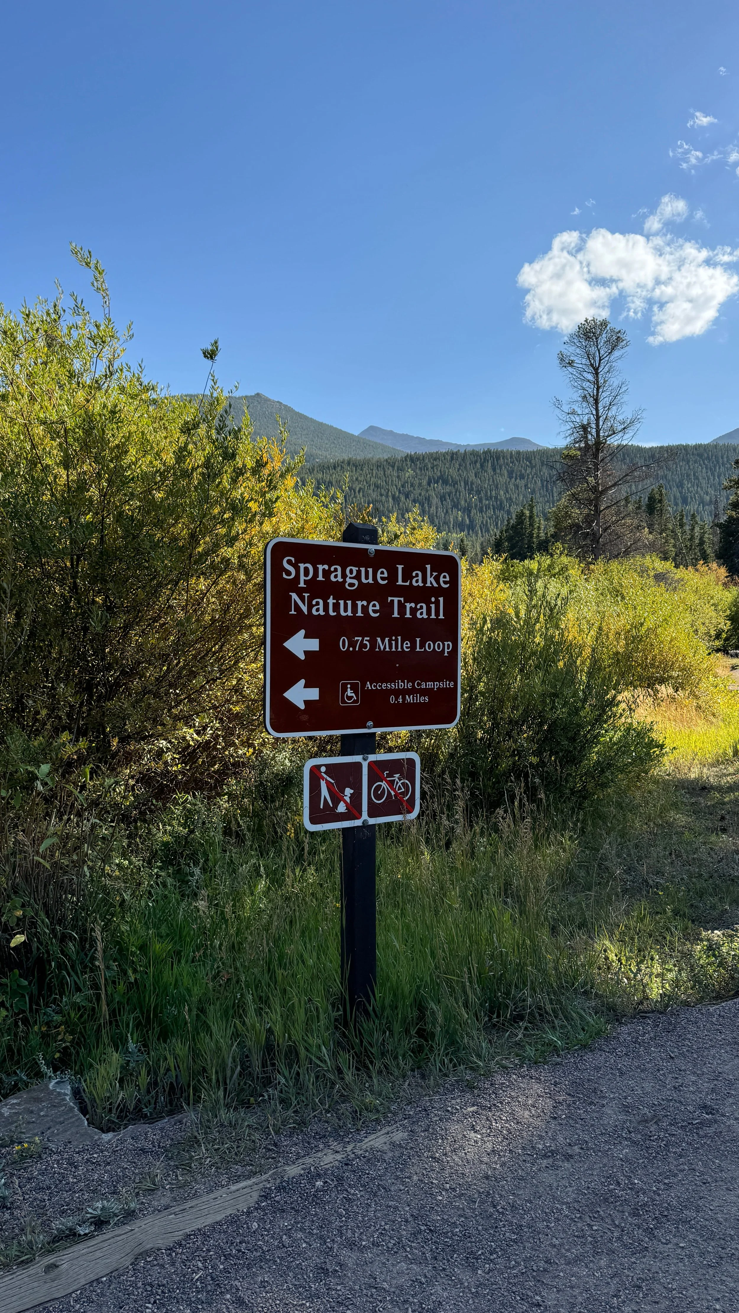
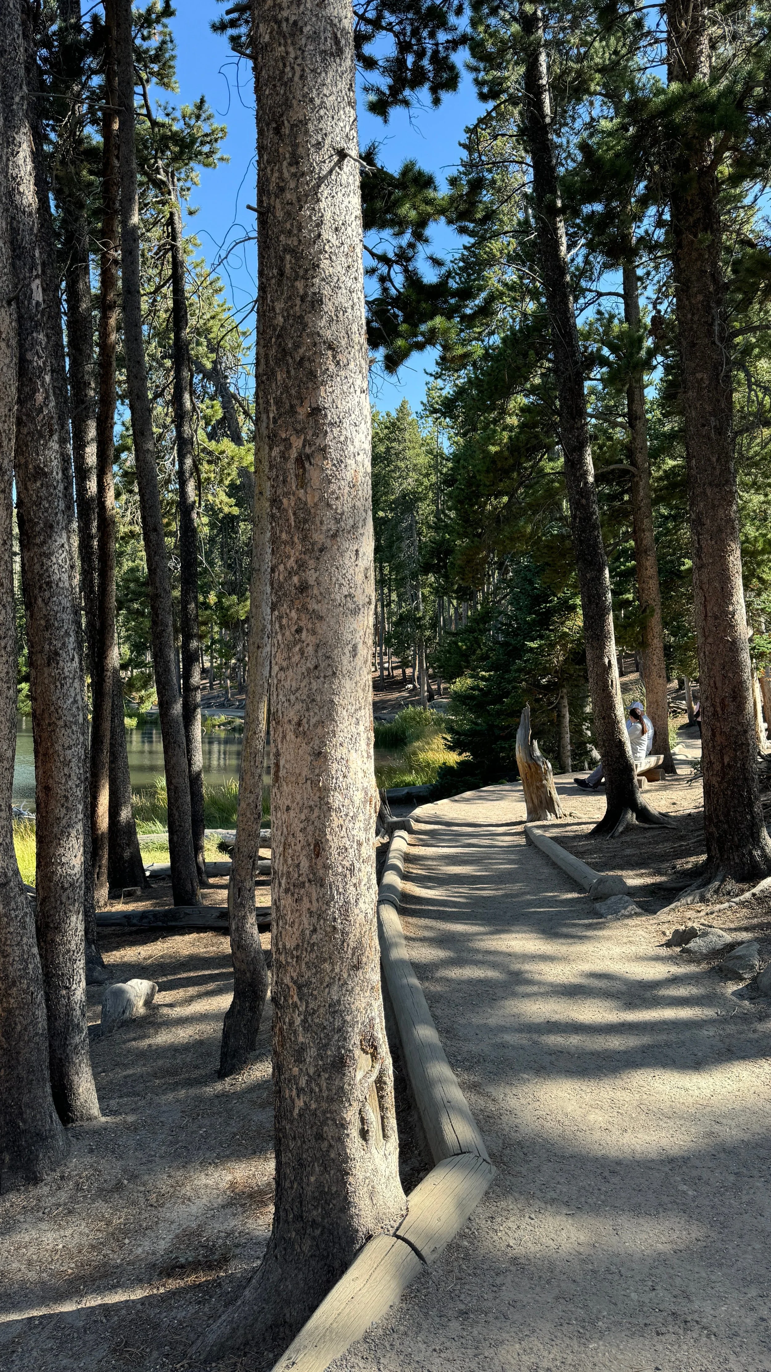
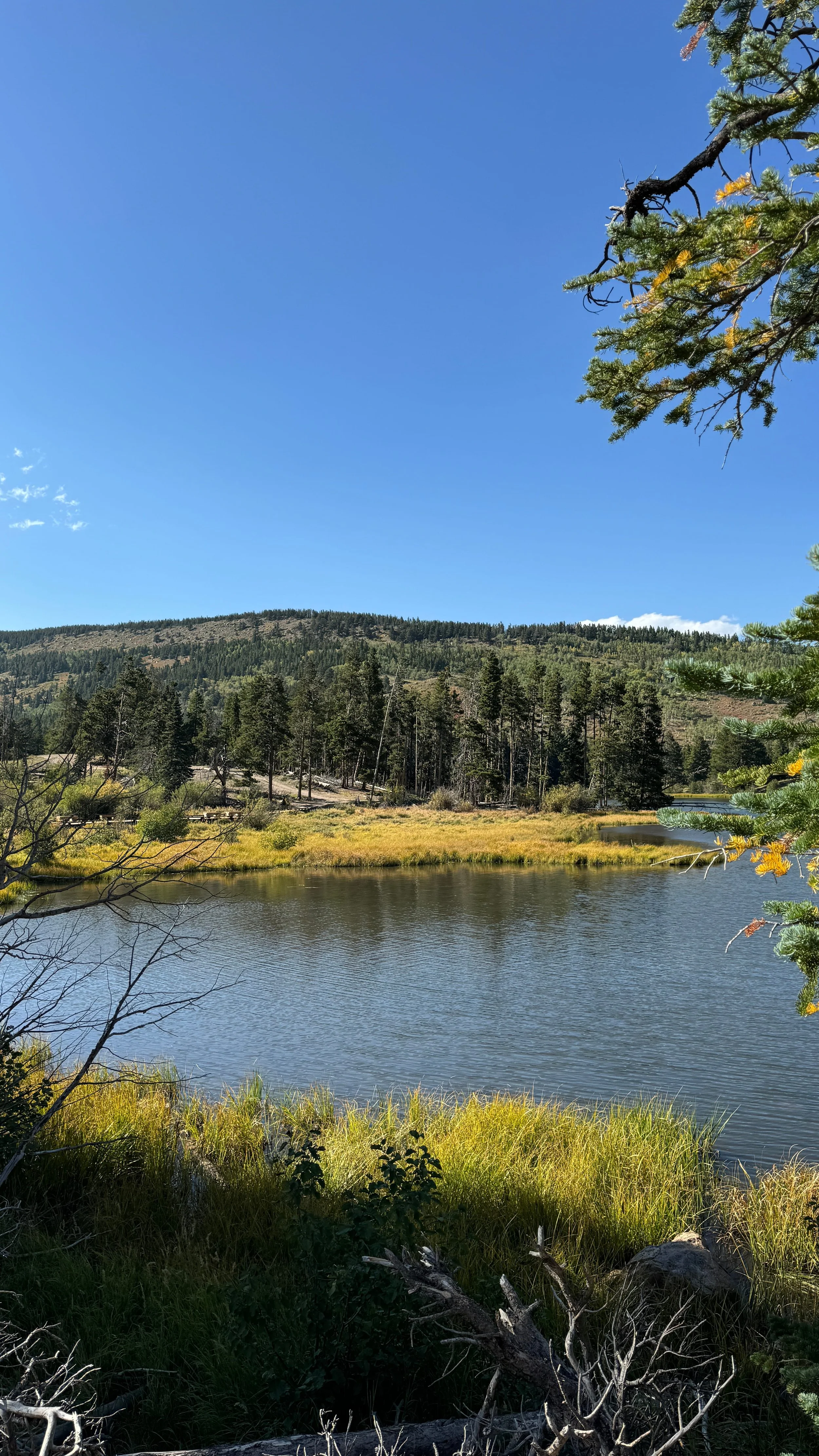
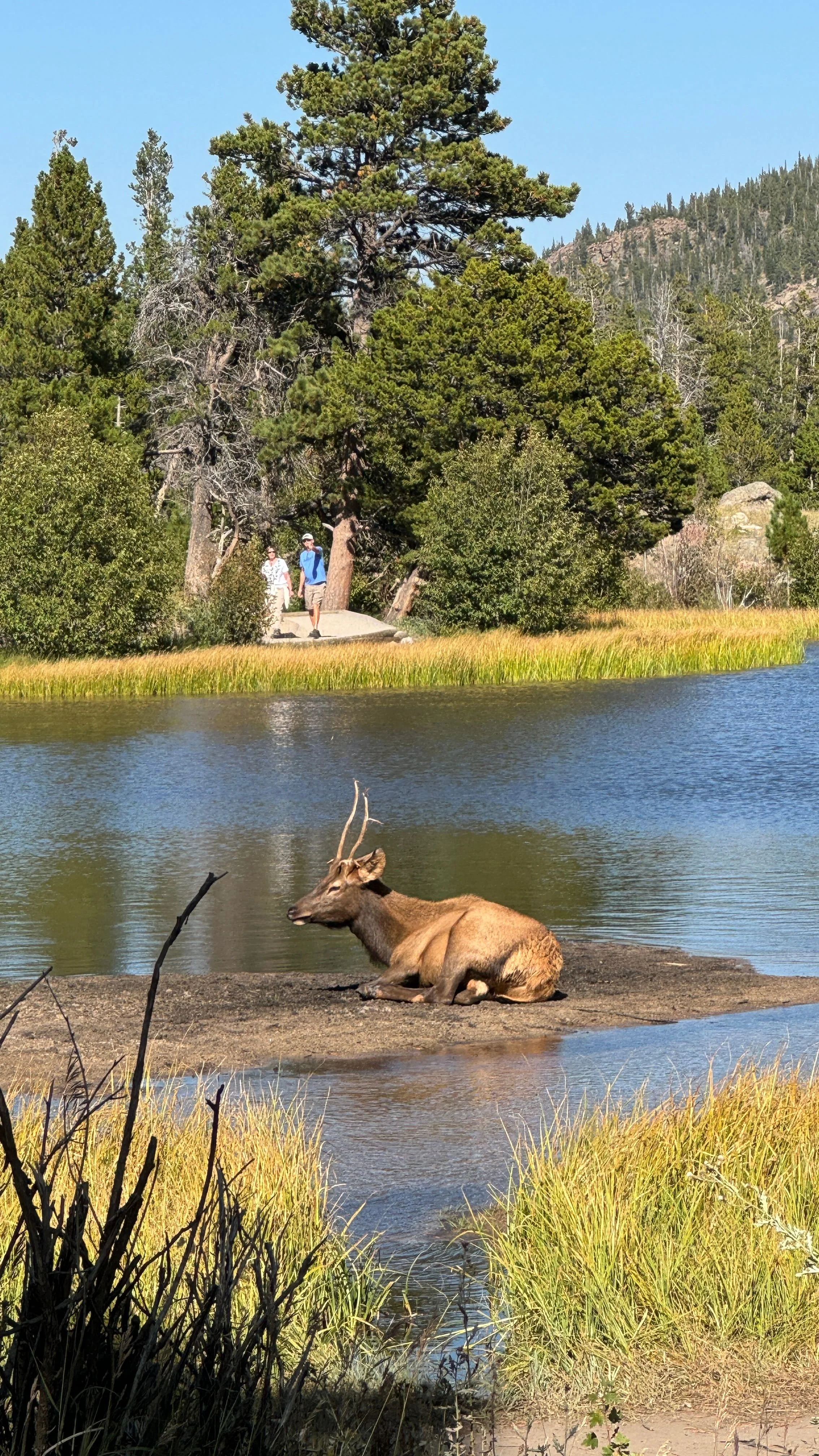
Top left to bottom right: Sprague Lake Nature Trail sign, trail, Sprague Lake, elk laying near Sprague Lake
1. Sprague Lake Loop (0.8 miles)
Sprague Lake is a beautiful lake in Bear Lake Corridor, with a 0.8 mile loop, wheelchair-accessible, trail. Wildlife spotting of moose and elk are often reported here.
This leisurely stroll around Sprague Lake has places to sit along the trail, picnic tables at the parking lot, and flushing toilets and sinks.
Distance: 0.8 mile loop
Elevation Gain: 36 ft
Highest Elevation on Trail: 8,724 ft
Difficulty: Easy
Parking: Sprague Lake parking lot
📍Trailhead Location: Get directions on Google Maps
🥾Follow the route on AllTrails: Sprague Lake Loop
2. Bierstadt Lake Trail (3 miles)
For the most direct route to Bierstadt Lake, take the Bierstadt Lake Trail! This trail switchbacks up in elevation with mountain views, before leveling out to circle the lake through the trees.
Some early morning hikers are lucky enough to spot moose in the lake.
Distance: 3 mile loop
Elevation Gain: 620 ft
Highest Elevation on Trail: 9,514 ft
Difficulty: Moderate
Parking: Bierstadt Lake Trailhead parking lot
📍Trailhead Location: Get directions on Google Maps
🥾Follow the route on AllTrails: Bierstadt Lake Trail
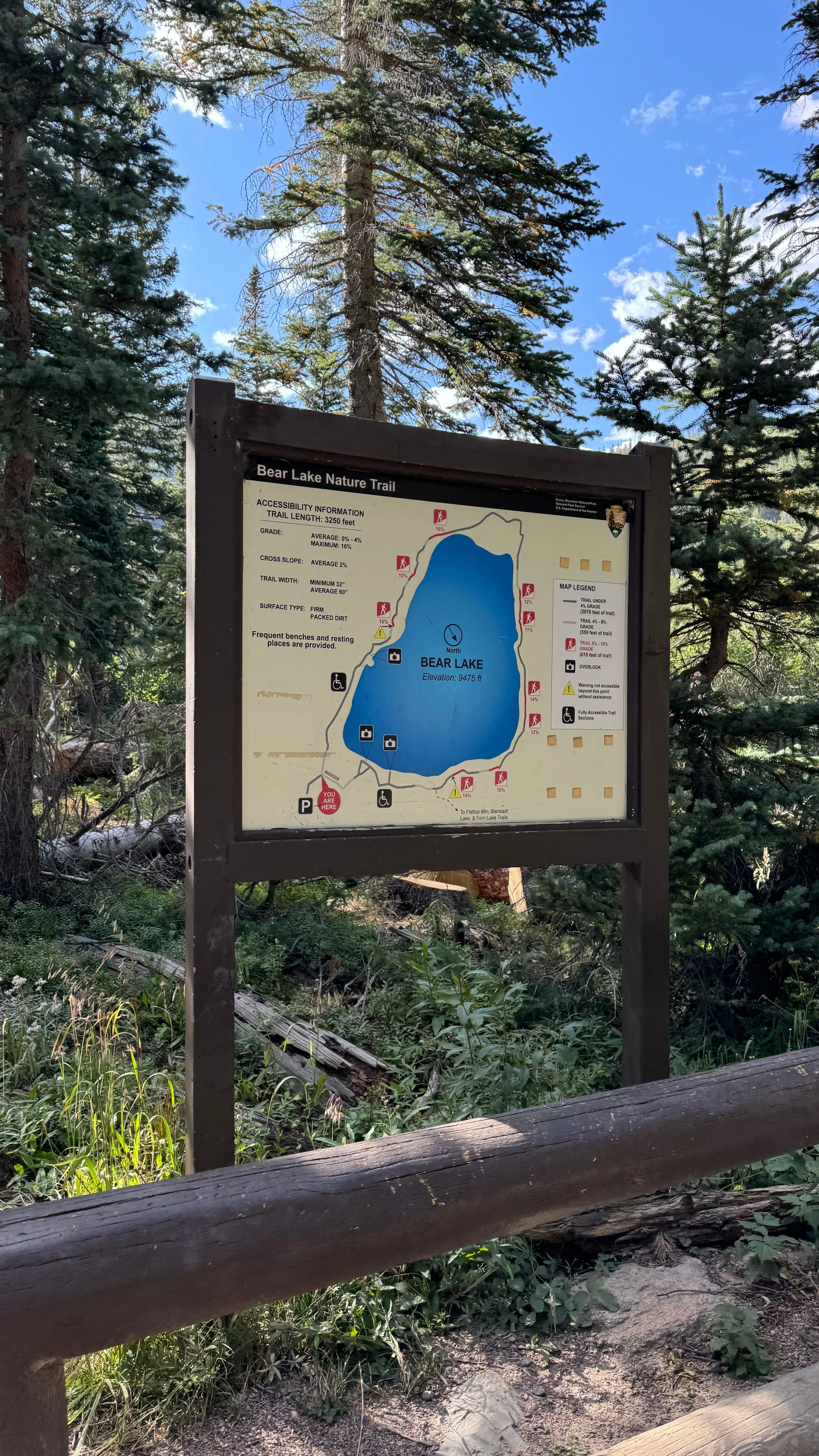
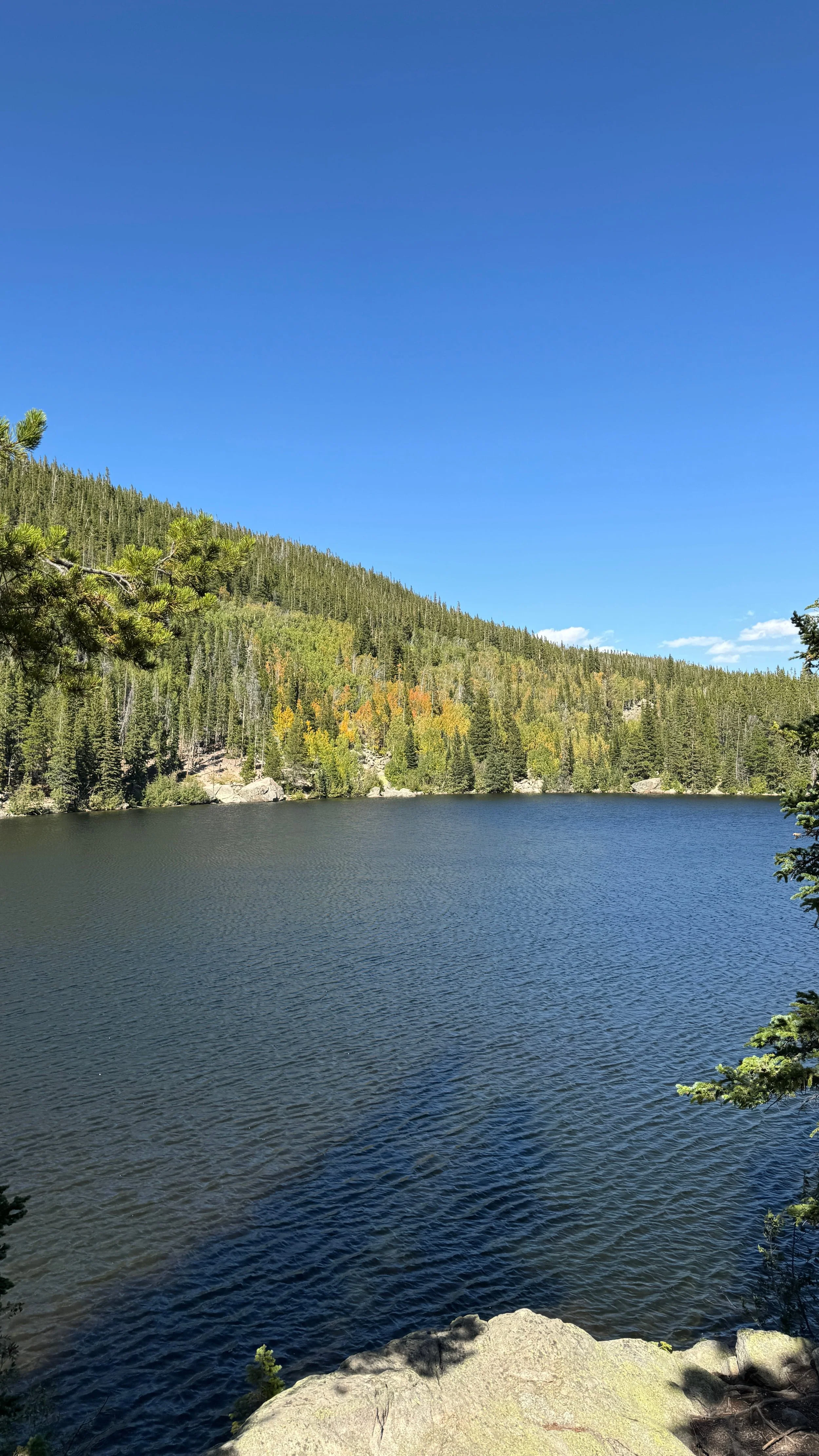
Left: Bear Lake trail map at trailhead; Right: Bear Lake view
3. Bear Lake Loop (0.7 miles)
Bear Lake Loop is one of the most accessible, family-friendly, and easy loop trails encircling a high-elevation lake in Rocky Mountain National Park. For this reason, in addition to being the starting point for a number of more strenuous day hikes, Bear Lake is often busy, especially during the summer!
It is open year-round, offering different conditions and experiences depending on the time of year. The trail is easy to follow, has benches to sit down along the way, and designated overlooks.
You can extend this loop trail by adding on Alberta Falls (2.6 miles), Nymph, Dream, & Emerald Lakes (4 miles).
Distance: 0.7 mile loop
Elevation Gain: 49 ft
Highest Elevation on Trail: 9,516 ft
Difficulty: Easy
Parking: Bear Lake Trailhead parking lot
📍Trailhead Location: Get directions on Google Maps

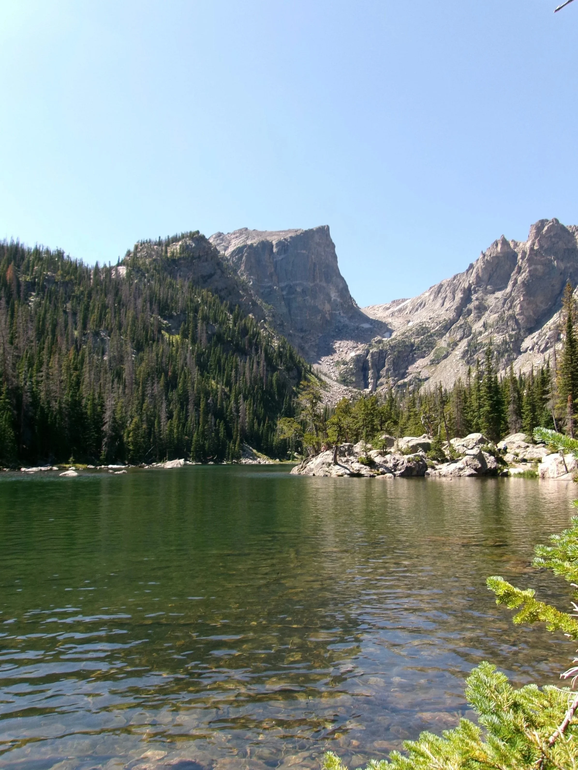

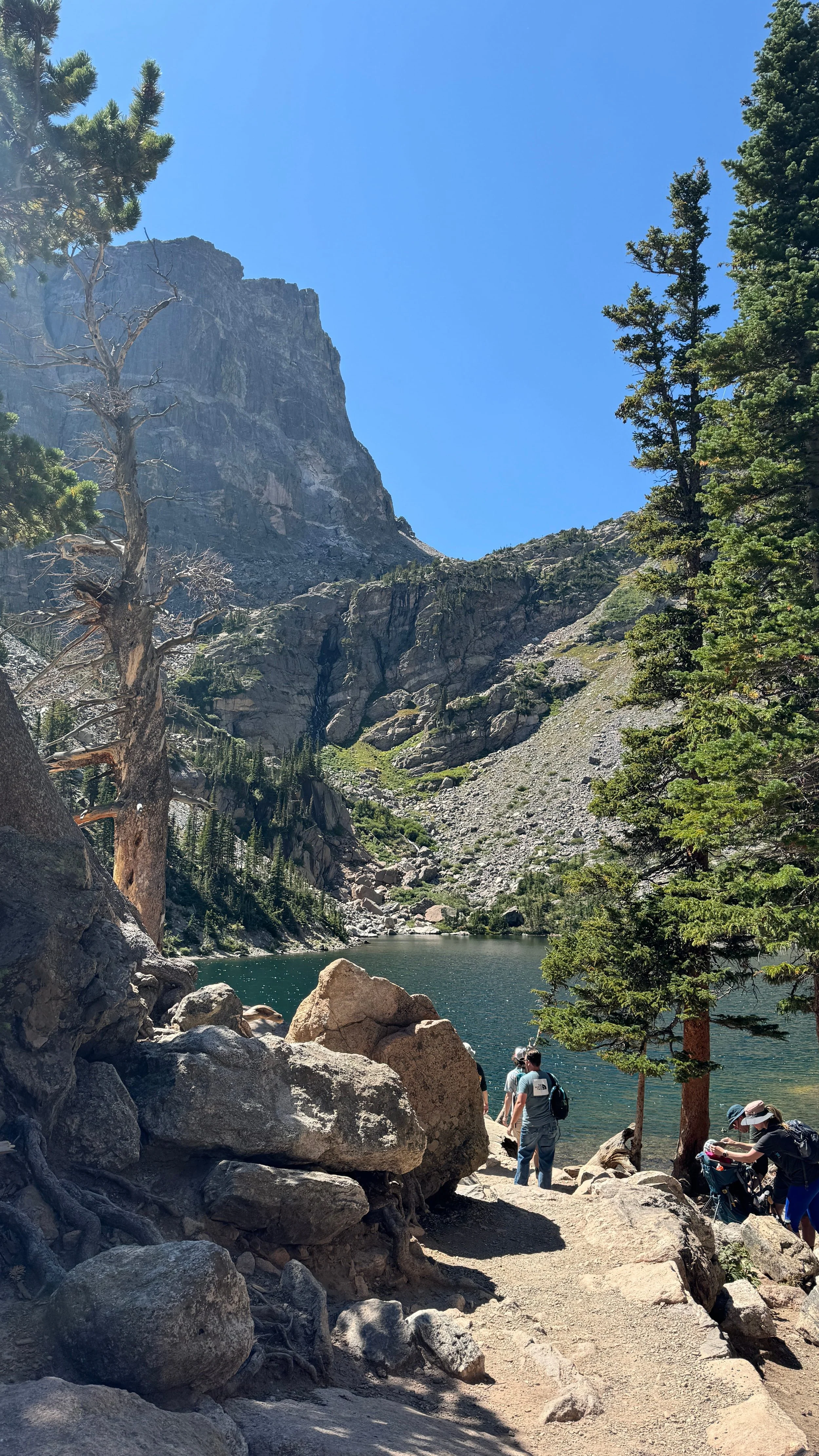
Top left to bottom right: Nymph Lake, Dream Lake, Emerald Lake, Emerald Lake
4. Nymph, Dream, & Emerald Lakes via Emerald Lake Trail (3.3 miles)
I am looping these 3 lakes together in one hike because it is a very popular route (in order: Nymph Lake, Dream Lake, Emerald Lake), however you can make this hike shorter by turning around at Nymph or Dream Lake.
This fantastic alpine lake trail guides you past 3 picturesque lakes,each different from one another. Nymph Lake is covered in lily pads, Dream Lake is an elongated shape with room to spread out from others on the shoreline rocks, and Emerald Lake is at the end of a steep and rocky climb in elevation with rewarding Hallett Peak views.
Distance: 3.3 miles out-and-back
Elevation Gain: 715 ft
Highest Elevation on Trail: 10,198 ft
Difficulty: Moderate
Parking: Bear Lake Trailhead parking lot
📍Trailhead Location: Get directions on Google Maps
🥾Follow the route to Emerald Lake on AllTrails: Emerald Lake Trail
🥾Follow the route to Emerald Lake + Lake Haiyaha on All Trails: Nymph, Dream, Emerald, and Haiyaha Lakes via Nymph Lake Trail (~5.1 miles out-and-back, but our stats show ~5.8 miles)

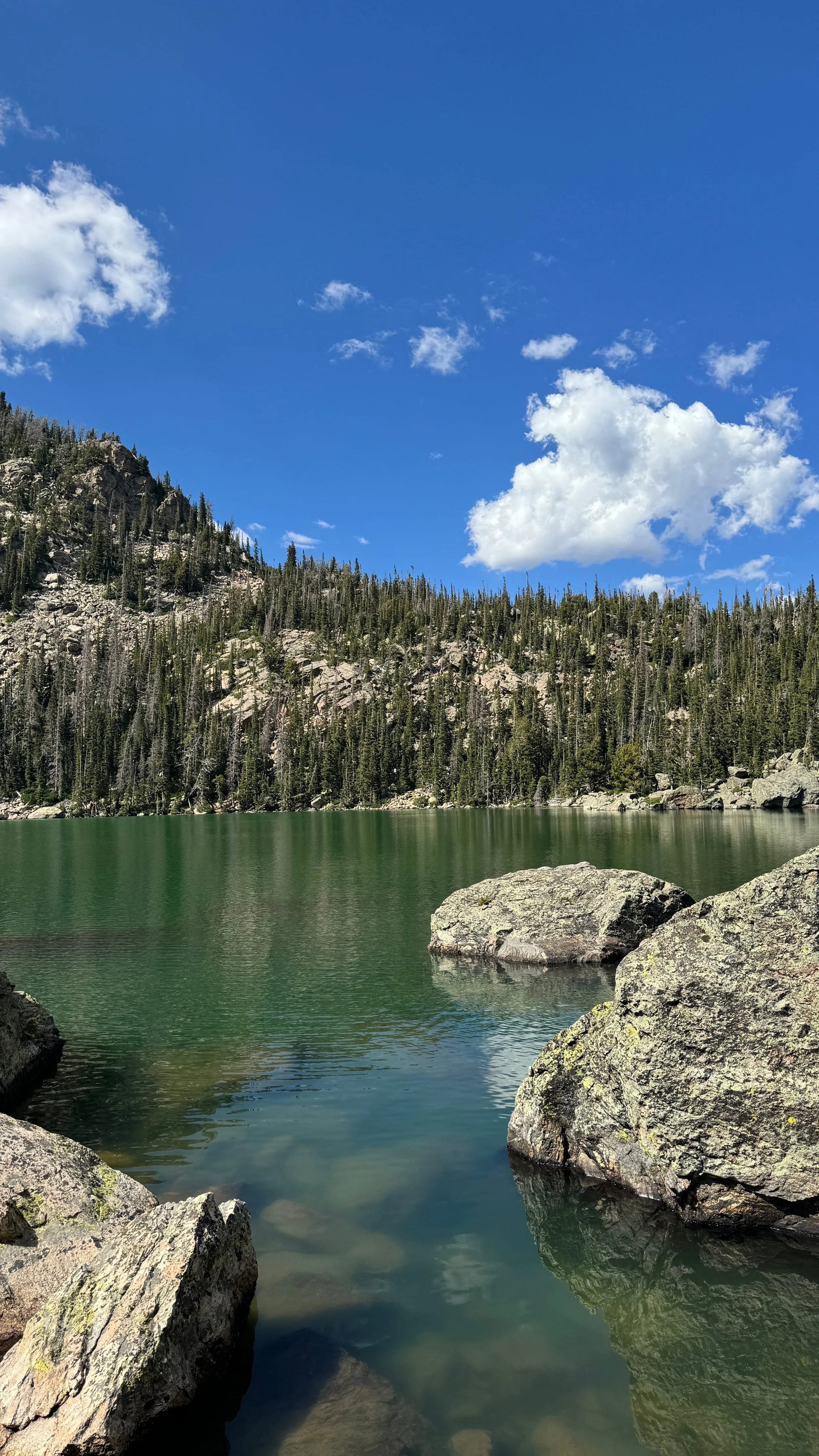
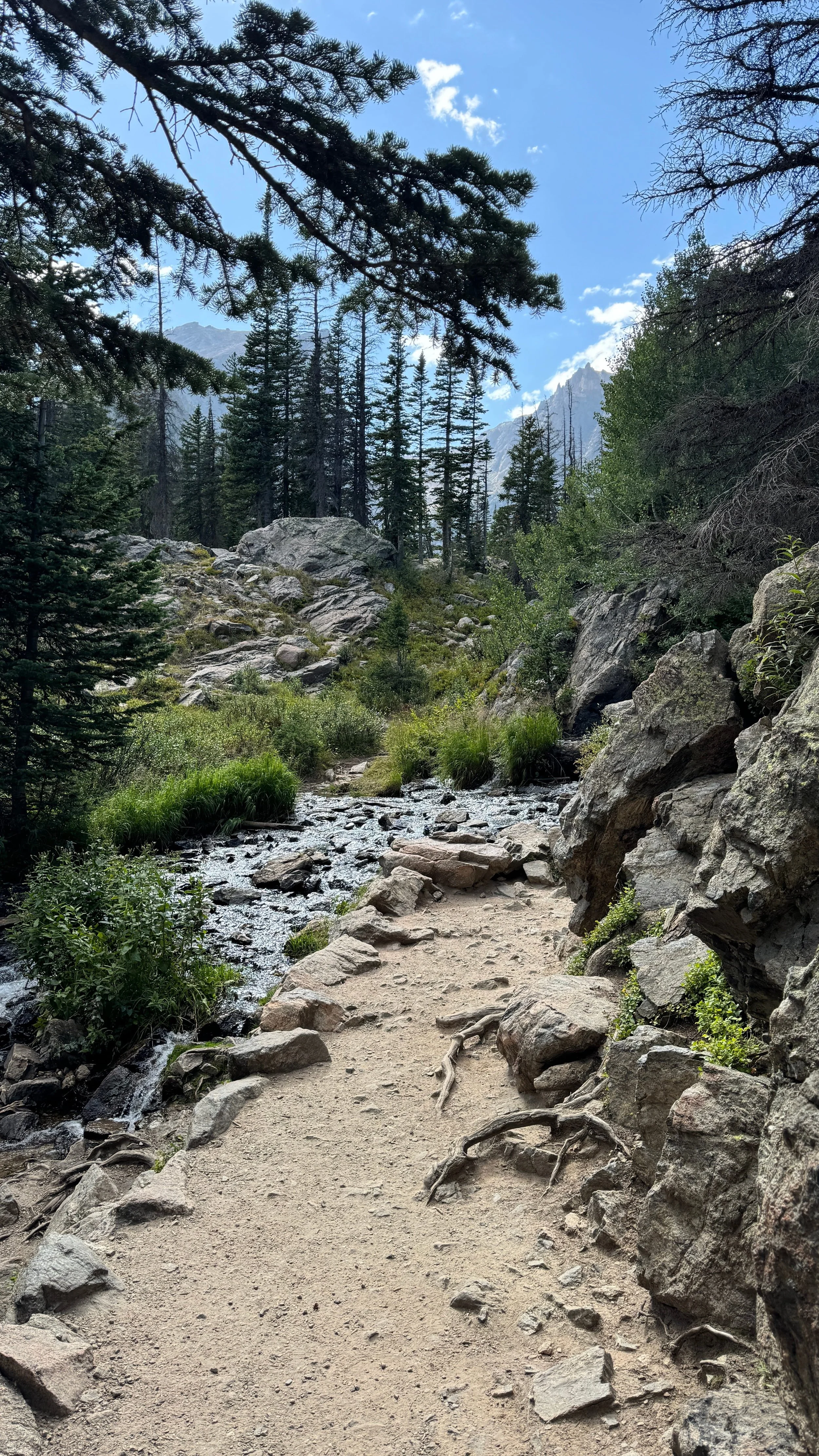

Top left to bottom right: Elevation gain to Lake Haiyaha, Lake Haiyaha, trail views, boulder scrambling at Lake Haiyaha
5. Lake Haiyaha (4 miles)
This moderately difficult trail to Lake Haiyaha is well worth it, particularly for those looking for some rock scrambling fun at the end! The trail to Haiyaha is a tad more difficult than to Emerald, with constant incline, more rocky, and has more steep drop offs, requiring you to pay better attention to your footing.
If you google Lake Haiyaha, you may see pictures of a milky blue lake that turned this color after a rockslide in 2022. Now, the milkiness has mostly settled, but its still beautiful as ever, surrounded by boulder fields, and is a popular alpine lake destination in the Rockies.
Distance: 4 miles out-and-back
Elevation Gain: 859 ft
Highest Elevation on Trail: 10,306 ft
Difficulty: Moderate-Hard (depending on experience)
Parking: Bear Lake Trailhead parking lot
📍Trailhead Location: Get directions on Google Maps
🥾Follow the direct route to Haiyaha on AllTrails: Lake Haiyaha (~4 miles out-and-back)
🥾Follow the route to Haiyaha, including Emerald Lake on AllTrails: Nymph, Dream, Emerald, and Haiyaha Lakes via Nymph Lake Trail (~5.1 miles out-and-back, but our stats show ~5.8 miles)
6. The Pool via Fern Lake Trail (3.4 miles)
For those still getting acclimated to the higher elevation, the Fern Lake Trail to The Pool, is a great introductory hike to Bear Lake Corridor. The trail is relatively flat, leading to a foot bridge overlooking the beautiful Big Thompson River. Cool rock formations and wildlife sightings can also be found on this trail.
You can continue on this trail by adding on Cub Lake Loop (6.2 miles) or Fern Lake (7.7 miles).
Distance: 3.4 miles out-and-back
Elevation Gain: 249 ft
Highest Elevation on Trail: 8,358 ft
Difficulty: Easy
Parking: Fern Lake Trailhead parking lot
📍Trailhead Location: Get directions on Google Maps
🥾Follow the route on AllTrails: The Pool via Fern Lake Trail Trail
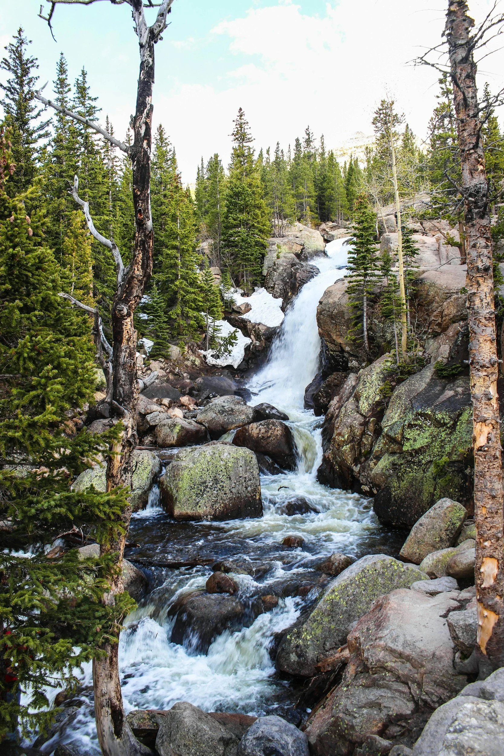
Photo by Jason Hawke 🇨🇦 on Unsplash
7. Alberta Falls Trail (1.7 miles)
Alberta Falls is a picturesque, 30-foot waterfall crashing into cascading rocks along Glacier Creek.
This is a 1.7 mile out-and-back trail to Alberta Falls, but this route can be extended past the falls on the Glacier Gorge Trail (4.1 miles), and to lakes such as Mills Lake (5.4 miles), Dream & Nymph Lakes (5.4 miles), and The Loch (5.8 miles).
Distance: 1.7 miles out-and-back
Elevation Gain: 236 ft
Highest Elevation on Trail: 9,421 ft
Difficulty: Easy
Parking: Glacier Gorge Junction Trailhead parking lot
📍Trailhead Location: Get directions on Google Maps
🥾Follow the route on AllTrails: Alberta Falls Trail
8. Hollowell Park & Mill Creek Basin Trail (3.7 miles)
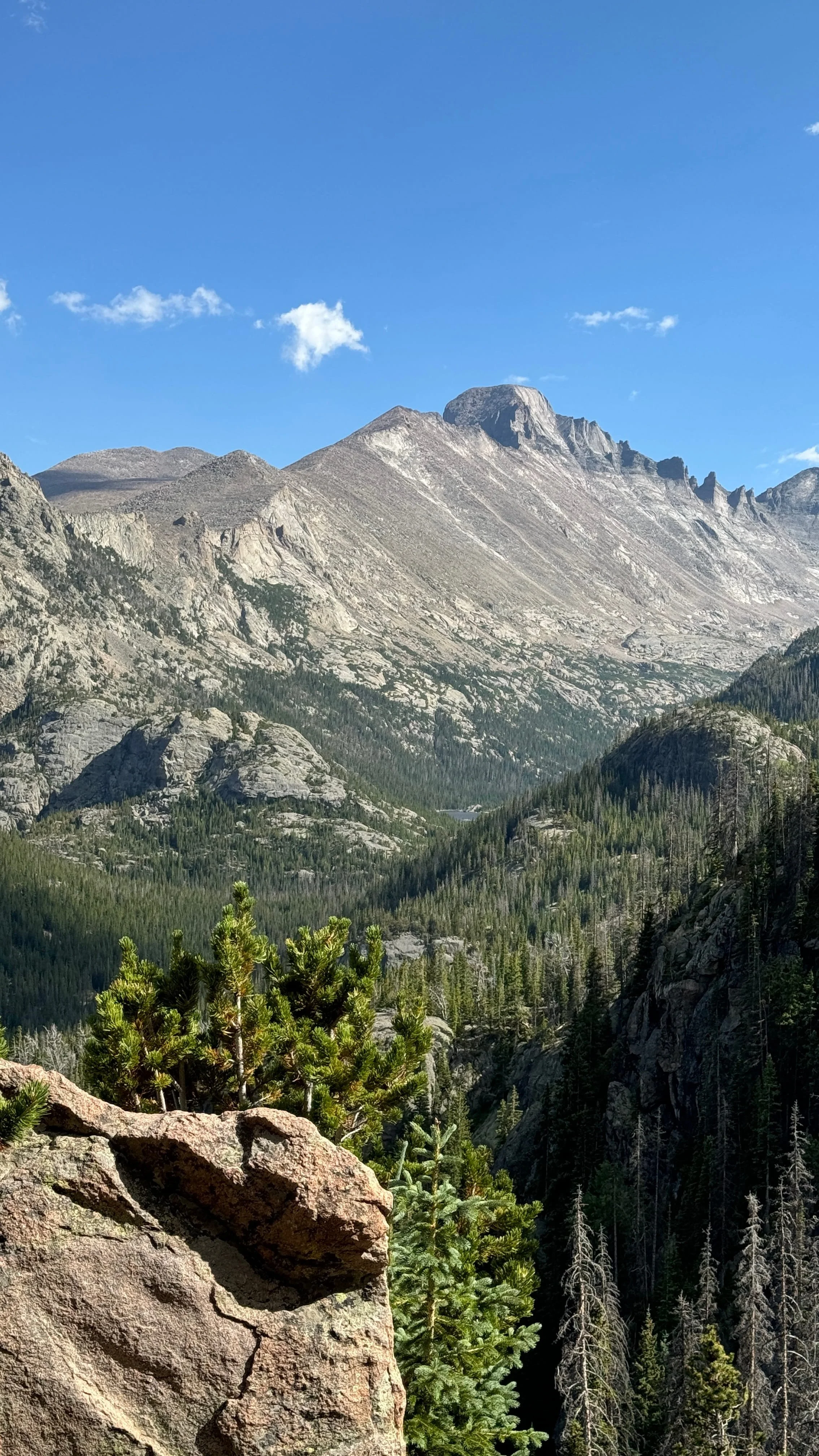
Mill Creek Basin Trail starts at Hollowell Park, and follows along part of Mill Creek to Mill Creek Basin. The 3.7 mile lollipop loop is mostly unshaded with a small portion through the trees, but this means you get views through a majority of the hike, including of Long’s Peak. Wildlife such as moose, elk, deer, and bears, are often spotted in the basin.
For being in the Bear Lake Corridor, Mill Creek Basin Trail is a far less busy trail compared to other trails on this list.
You can extend this hike to Bierstadt Lake (6.3 miles) or to Cub Lake + Moraine Loop (9.8 miles).
Distance: 3.7 mile loop
Elevation Gain: 672 ft
Highest Elevation on Trail: 9,148 ft
Difficulty: Easy-Moderate
Parking: Hollowell parking lot
📍Trailhead Location: Get directions on Google Maps
🥾Follow the route on AllTrails: Hollowell Park & Mill Creek Basin Trail

9. South Lateral Moraine Trail (4.6 miles)
South Lateral Moraine Trail skirts along Moraine Park, one of the most notable wildlife viewing areas in Rocky Mountain National Park. A moraine is an area of glacial rock and boulder deposit, so other than elk viewing, this is a cool trail for those with geological interests!
Distance: 4.6 miles out-and-back
Elevation Gain: 331 ft
Highest Elevation on Trail: 8,172 ft
Difficulty: Easy
Parking: Here
📍Trailhead Location: Get directions on Google Maps
🥾Follow the route on AllTrails: South Lateral Moraine Trail
10. Beaver Ponds via Cub Lake Trail (2.2 miles)
Beaver Ponds is a lush area ofwetlands and a great spot to see beavers in the river, and elk in the moraine. It is flat, short, and good for all ages.
You can extend this hike to Cub Lake (5.2 miles) or do the Cub Lake Loop Trail (6.2 miles).
Distance: 2.2 miles out-and-back
Elevation Gain: 108 ft
Highest Elevation on Trail: 8,174 ft
Difficulty: Easy
Parking: Cub Lake Trailhead parking lot
📍Trailhead Location: Get directions on Google Maps
🥾Follow the route on AllTrails: Beaver Ponds via Cub Lake Trail

View from Lake Haiyaha Trail, August
When to Visit Bear Lake Road Corridor
❗️IMPORTANT: For information on the timed entry booking system for RMNP (required from end of May through mid October), visit this page on the RMNP NPS website.
The Bear Lake Road Corridor (and subsequent hiking trails) are open year-round. So choose the season and conditions you are most comfortable with!
Summer is the most crowded time of the year with little to no obstacles getting around the park, vs in the winter, you will need to be prepared for driving on snow and ice and have gear necessary for inclement trails, but you’ll have far less crowds.
I visited in September as the fall colors started to emerge, with pleasant daily temperatures (but yes, a lot of people).
The exact date and time you are permitted to enter Bear Lake Road Corridor will depend on the timed entry slot available (if visiting between end of May and mid October). No timed entry slot required if entering Bear Lake Road before 5am or after 6pm.
How to Get Around Bear Lake Road Corridor
You have some options for transportation around Bear Lake Road Corridor.
Park & Ride Shuttle
An efficient Park & Ride Shuttle system is available seasonally for visitors, with routes and stops stretching from the Estes Park Visitor Center to Bear Lake trailhead parking lot.
To plan out your shuttle route and book your reservation, visit the RMNP Shuttle Bus & Public Transit webpage.
NOTE: A timed-entry reservation for Bear Lake Road Corridor is not required if you ride the hiker shuttle from Estes Park, however a shuttle reservation and park entry fee are required.
Car
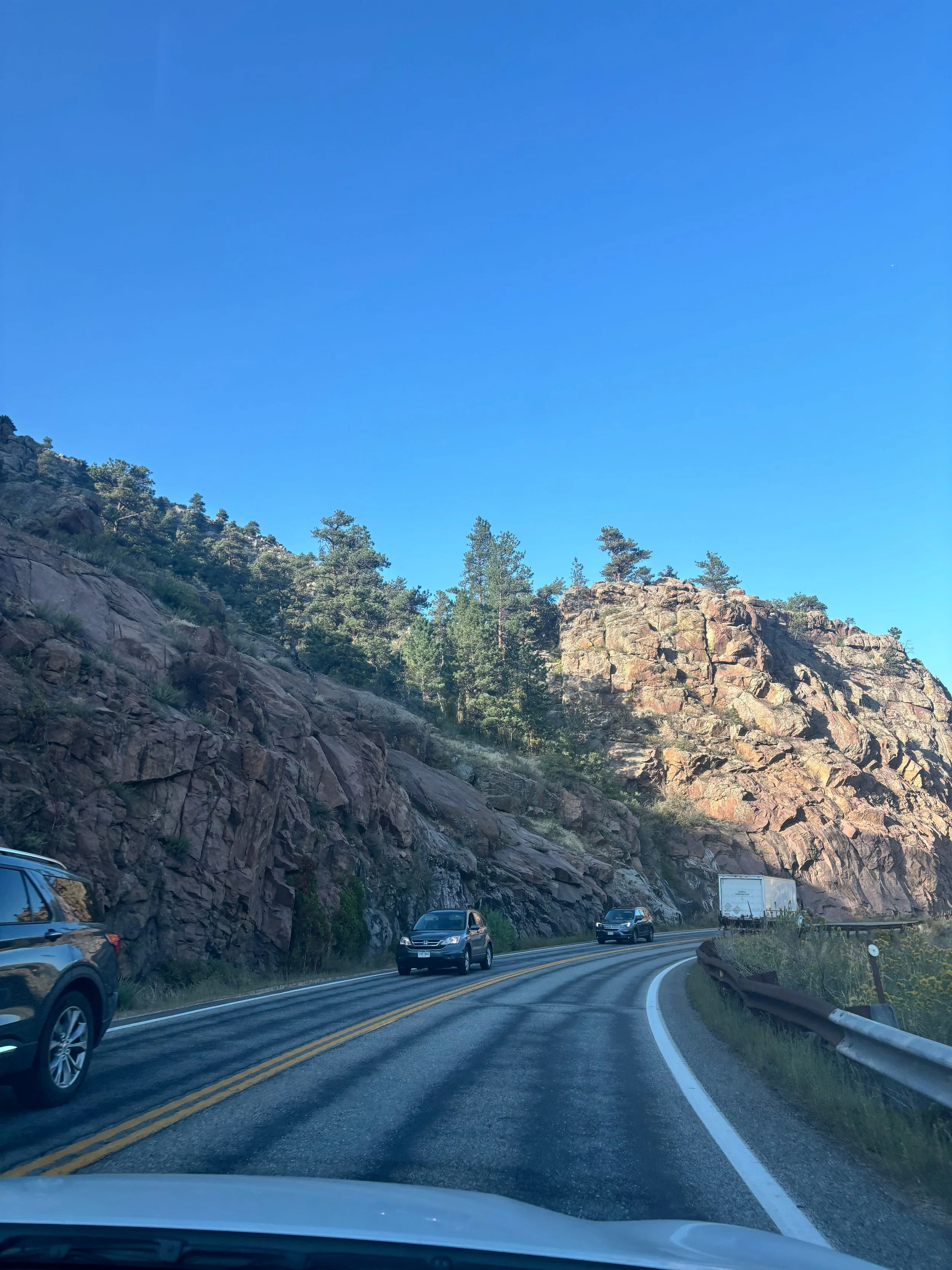
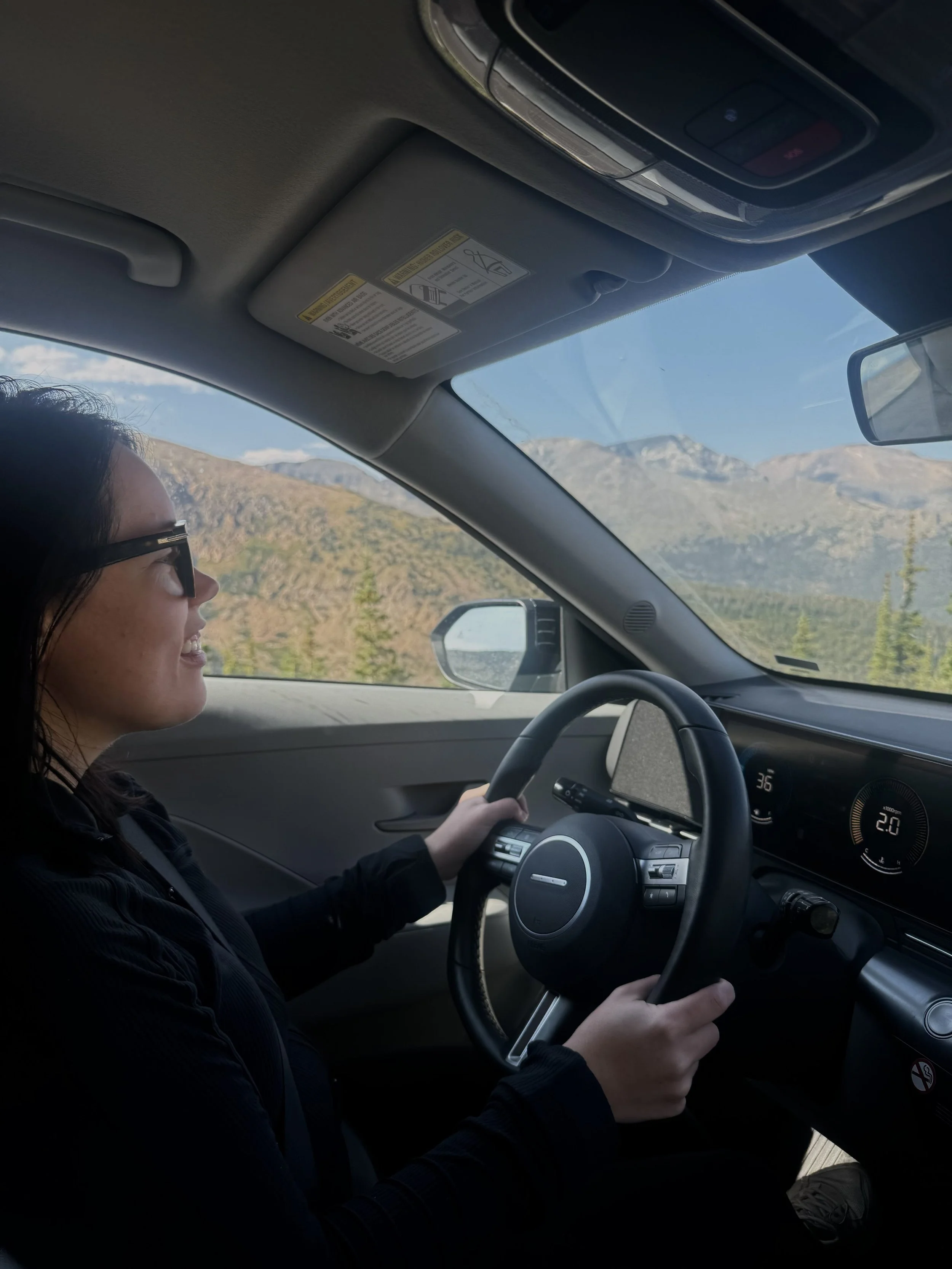
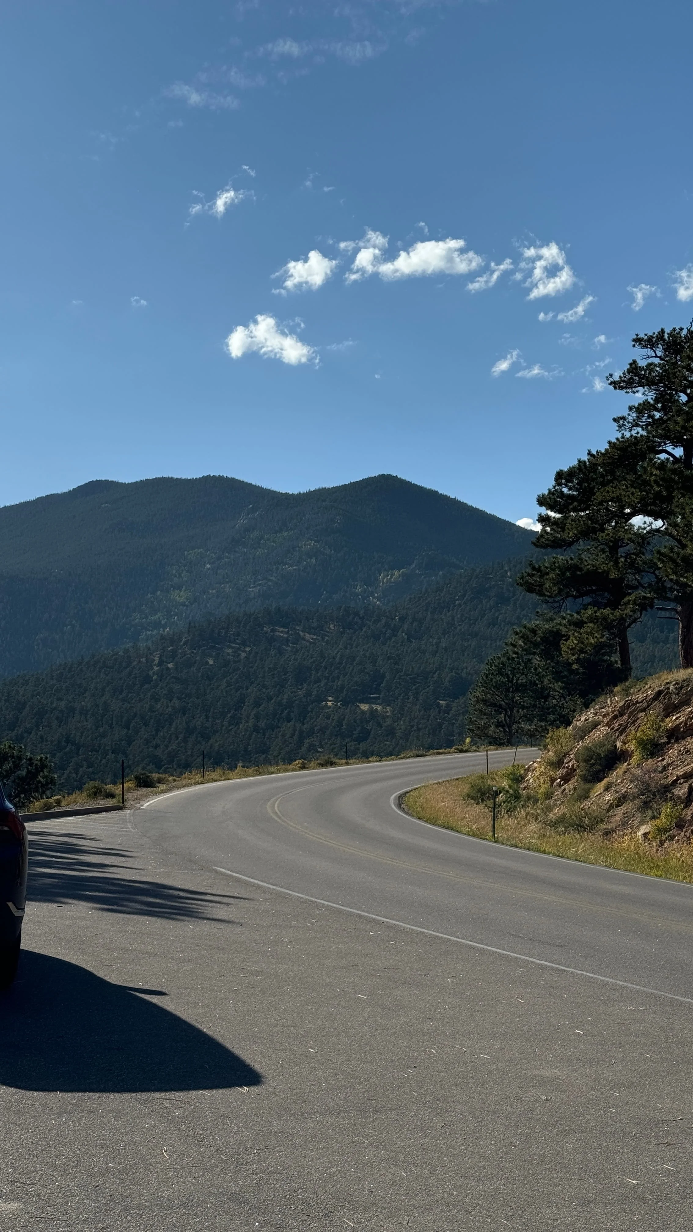
Driving yourself through the winding mountain roads is a lot of fun and gives you some freedom for exploring at your own pace. The road is well-maintained but has areas with limited shoulders and there are some tight switchbacks to take slow.
NOTE: Even if you drive yourself into Bear Lake Road Corridor, there is always a chance you will still need to utilize the Park & Ride Shuttle system within the corridor, depending on crowding at your intended parking lot or the location of your destination.
Bike
Cyclists don’t need a timed entry reservation to enter Bear Lake Road Corridor!
To read all about cycling in Rocky Mountain National Park, visit the RMNP NPS webpage.
Guided Tour from Estes Park
Not interested in working out all of the logistics yourself? There are a few guided tours into the Bear Lake Corridor that take care of everything and allow you to sit back, learn about the park from a knowledgable guide, see some of the most beautiful and accessible sites in Bear Lake Corridor, and enjoy the views and ride. Some tours include visiting select trails on this list.
Tips for Visiting Bear Lake Road Corridor
RMNP releases a large batch of next-day timed entry permits every evening at 7pm MT during the summer and fall seasons. So even if you didn’t have any luck getting an entry permit ahead of time, you have one more chance the night before your desired entry.
I snagged my next-day timed entry permit this way, by being on the reservation site AT 7pm when the tickets dropped.
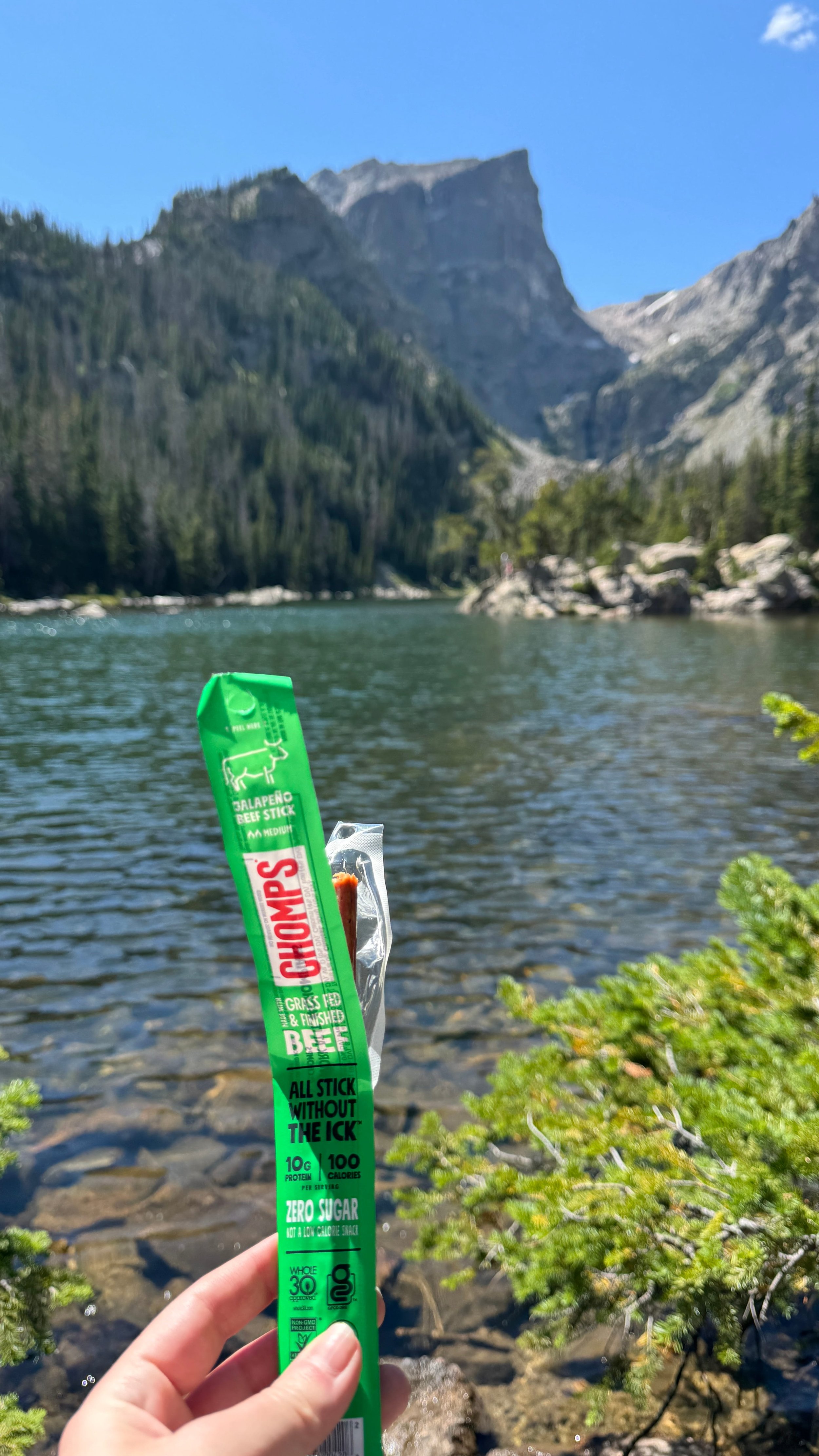
Bring snacks and electrolytes on your hike to keep your energy and hydration up. Even on short hikes, a water reservoir is handy to carry on your back so you always have water a sip away, especially when acclimatizing to the elevation or in warm weather.
Still couldn’t get a timed entry permit during your May-October visit? You can enter Bear Lake Road Corridor without the entry permit before 5am or after 6pm.
Expect crowds at the most accessible trails, especially during summer and fall. Bear Lake Road Corridor has a highly concentrated amount of Rocky Mountain National Parks most popular trailheads. My photos may not show a lot of people, but the trails were packed in August and September (particularly around Bear Lake up to Emerald and Haiyaha).
The crowds will begin to thin out the further you hike!
Keep an eye on the weather. Summer in the mountains brings afternoon thunderstorms so finishing long and exposed hikes earlier in the day is advised during the summer.
Prepare for elevation gain with drinking a lot of water, having electrolytes, and acclimating if you have the time to.
We had been in Denver for about a month, spent 2 days in Estes Park to acclimate (about 7,500 ft), drank a TON of water (more than you think you need, some with electrolytes) the day before and the day of our hikes in Bear Lake Corridor (up to 10,000+ ft), and we had no altitude sickness.
Research the terrain and recommendations of equipment from others for the trails you are interested in.
Hiking the Sprague Lake Trail and Bear Lake Trail up to Emerald Lake and Lake Haiyaha, I wore Asics and those were perfectly fine for these hikes. There were folks in flip flops (don’t recommend), but the point is, non-hiking specific shoes with good grip were fine for these trails.
Trekking poles would have been useful in several spots for added balance and knee support on the Emerald and Haiyaha trails.
I didn’t come close to listing all of the hiking trails in the Bear Lake Corridor. I recommend browsing the AllTrails app to find trails that suit your ability and interest. Once you’ve planned out your trails, download the offline map on AllTrails to stay connected and on route, even when you lose phone service!
Phone service is unreliable, so visit with a plan and offline maps downloaded, particularly for hiking.
There are vault toilets at select parking lots and trailheads: Bear Lake Trailhead, Glacier Gorge Trailhead, Bierstadt Lake Trailhead. There are flushing toilets at the Sprague Lake parking lot.
I HIGHLY recommend bringing your own wipes or toilet paper and hand sanitizer.
There are no more amenities past the trailhead, so plan accordingly with packing out and going in a secluded spot at least 200 feet from trails, campsites, and water sources.
The hard, rocky ground of the Rocky Mountains makes some areas difficult to dig a hole for solid waste so bringing “Wag Bags” is recommended for solid waste.
Stay flexible! Changes in the weather, full parking lots, delays in shuttle transportation, trail closures, timed-entry availability, etc can all happen.
Resources
I’ve compiled a list of resources to further refer to when planning your visit to the Bear Lake Corridor!
❗️IMPORTANT: For information on the timed entry booking system for RMNP (required from end of May through mid October), visit this page on the RMNP NPS website.
To plan out your shuttle route and book your reservation, visit the RMNP Shuttle Bus & Public Transit webpage.
For updates on road closures, seasonal openings, and alerts in effect in Rocky Mountain National Park, refer to the RMNP NPS website.
To see live webcams around the park showing current traffic at entrances, visibility, etc, visit the RMNP webcam page.
For accurate weather updates and forecasts in the Rockies, visit this Weather.gov page. (Note that weather can change rapidly and unexpectedly in the mountains).
For all of the above plus a lot more - just visit the RMNP NPS website! They have it all covered.
Map
↓ read more colorado travel guides ↓


PIN FOR LATER!

The Bear Lake Road Corridor is a 9.2 mile out-and-back, two-way, paved road in Rocky Mountain National Park. This section of the park has a high concentration of trails suitable for all skill levels and interests that show off the beauty of these mountains without long and high-exertion hiking. This list consists of hikes under 5 miles in Bear Lake Corridor for those of us who prefer to leisurely explore. Many of these trails are short alpine lake hikes, perfect for first time visitors of Rocky Mountain National Park, and family-friendly.